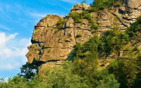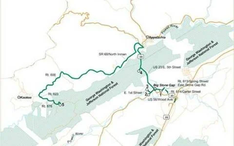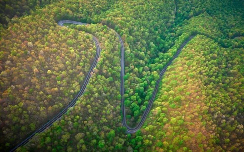

The Woodbooger is called Big Foot in other parts of the nation. It lives in the highlands near Norton and is memorialized by the Woodbooger statue at Flag Rock, which provides panoramic views and hiking trails. After your photo op, tackle the curvy climb to High Knob. This 154-mile route takes you from Pikeville, Kentucky down to Cumberland, over to Appalachia, Virginia, through Big Stone Gap before you hit High Knob where you can spy where you've just journeyed from the fire tower overlook. The view is amazing!!!
Strippers Run honors the coal miners who worked to strip coal from the Appalachian Mountains. The Kentucky Scenic Byway traverses Pine Mountain and features breathtaking overlooks. Thick woods and streams along the 58-mile route cool you off on summer days, with stunning foliage in autumn.
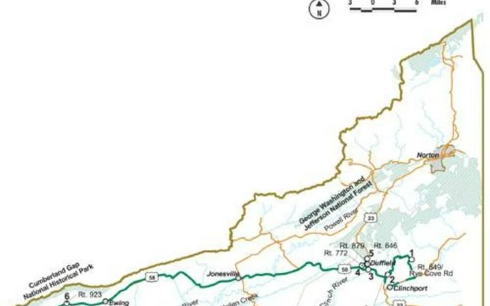
You'll have a laugh-out-loud good time riding this 50-mile scenic bypass! Pass historical buildings, a stunning waterfall, and charming small towns. Take a side trip to the Creation Kingdom Zoo, or spend another day floating down the Clinch River, dancing at Carter Family Fold, or kick back in front of a cozy fire at your cabin getaway!
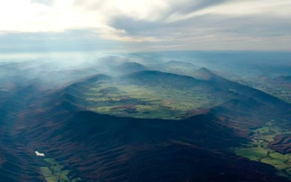
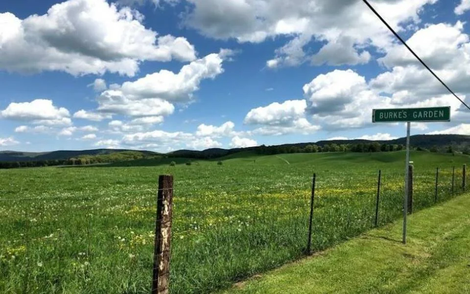
The Scorpion offers twisty roads and mountain climbs along scenic backroads leading through Bure's Garden, known as "God's Thumbprint" for the bowl-shaped valley carved into a mountain top. Rolling farmland, verdant valleys and charming country stores greet you on these winding roads. While in Pocahontas, take a tour of the Exhibition Mine, where the coal that fueled the Navy during WWII was mined.
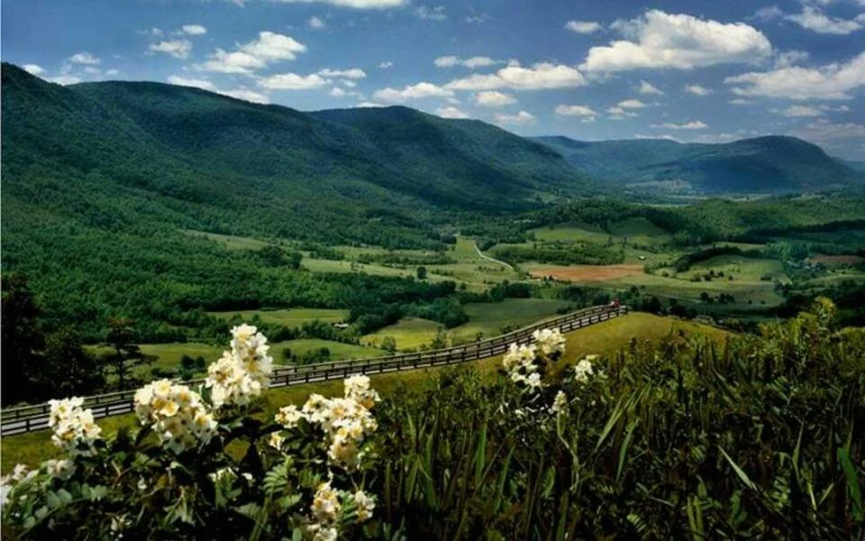
The high mountaintop elevations and spectacular views around every turn are the hallmarks of the Appalachian Backroads experience. Roadrunner does not disappoint. This 160-mile route over thrilling byways guides you over mountain roads, through verdant forests, and across expansive farmland.
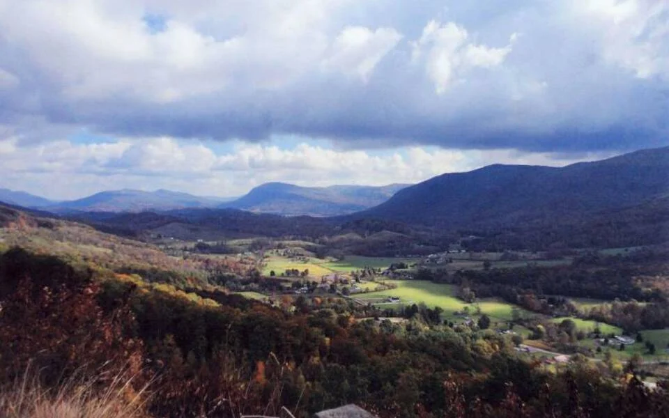
This 76-mile backroads route takes you through Natural Tunnel State Park, the Jefferson National Forest to the Trail of the Lonesome Pine - Virginia's Official Outdoor Drama. Along the way, you'll wind through some of the most impressive valleys and their expansive views.
This 150 mile route takes you right through the Heart of Appalachia to Breaks Interstate Park, known as the "Grand Canyon of the South." Visit Breaks Park when it offers elk viewing tours and whitewater rafting excursions. Also take time to visit Vincent's Vineyard and Stone Mountain Distilling in Lebanon as well as the Ralph Stanley Museum in Clintwood. And be sure to stop in St. Paul and take a minute to visit us at historic Hillman House-the home of Heart of Appalachia Visitor Center and parent of our great Appalachian Backroads!
Virginia's Route 80 is a designated Virginia Scenic Byway so allow time to stop and take in all the beauty only found in our neck of the woods. There's plenty of twists and turns through gorgeous, wooded mountain terrain to classic small towns like Honaker, Haysi, Richlands, and Cedar Bluff. Capture the views atop the Cedar Bluff Overlook, which provides a stunning perspective any time of year. This is a 92 mile loop with plenty to see and do.
The valleys on the Eagle's Nest loop provided routes to early pioneers as they moved westward toward Cumberland Gap. This route winds along the Powell and Clinch Rivers through wooded backroads where eagles soar. This scenic drive is about 94 miles. Add a few miles to your trip to visit the Wilderness Road State Park and Martin's Station.
Follow in the footsteps of early pioneers through Virginia's westernmost point. Visit Wilderness Road State Park and Martin's Station to check out early handmade forts. Experience the pioneer trek through Cumberland Gap National Historical Park. Pinnacle Overlook offers a view of the Gap that opened settlement to the west.
The bootlegging trade flourished in these Appalachian Mountains and led directly to the "lawless decade" of the 1920s. Mountain folks utilized the curvy backroads and their knowledge of hard-to-find locations to get around the revenuers. Bootlegger's Run takes you from Grundy to small towns of West Virginia and back. 145 miles of back road awesome just waiting for you to ride.
This 123 mile route lassos the border of Kentucky and Virginia through the beautiful Jefferson National Forest. Breathtaking views and deep woods await you as you follow the corkscrew-like asphalt ribbon to Breaks Interstate Park. Experience both Appalachian coal heritage and Crooked Road Old-time Music venues along the way. You'll want to stop at MountainRose to tour the reclaimed strip mine turned award winning vineyards!
Cumberland to Appalachia crosses Black Mountain at the highest point in Kentucky and is aptly named the Coalfield Black Snake run. Black Snakes are in abundance in this coal region and you're likely to catch a glimpse of snakes sunbathing on the road during the summer months. This route is approximately 129 miles of breathtaking views of Virginia and Kentucky.
Experience the cultural heritage of southwestern Virginia’s coal mining towns [...]
Powell Valley is a picturesque location, with an overlook accessible [...]
The trail runs from Burke’s Garden/Tazewell to Guest River Gorge/Wise [...]
Tazewell County's legendary drive on VA-16, packing 438 curves into 32 miles between Tazewell and Marion, a bucket-list route for motorcyclists and sports cars.