
HOA Waterfall Trail: 7 Best Waterfalls in Coalfields

Explore the Hidden Gems of the Heart of Appalachia
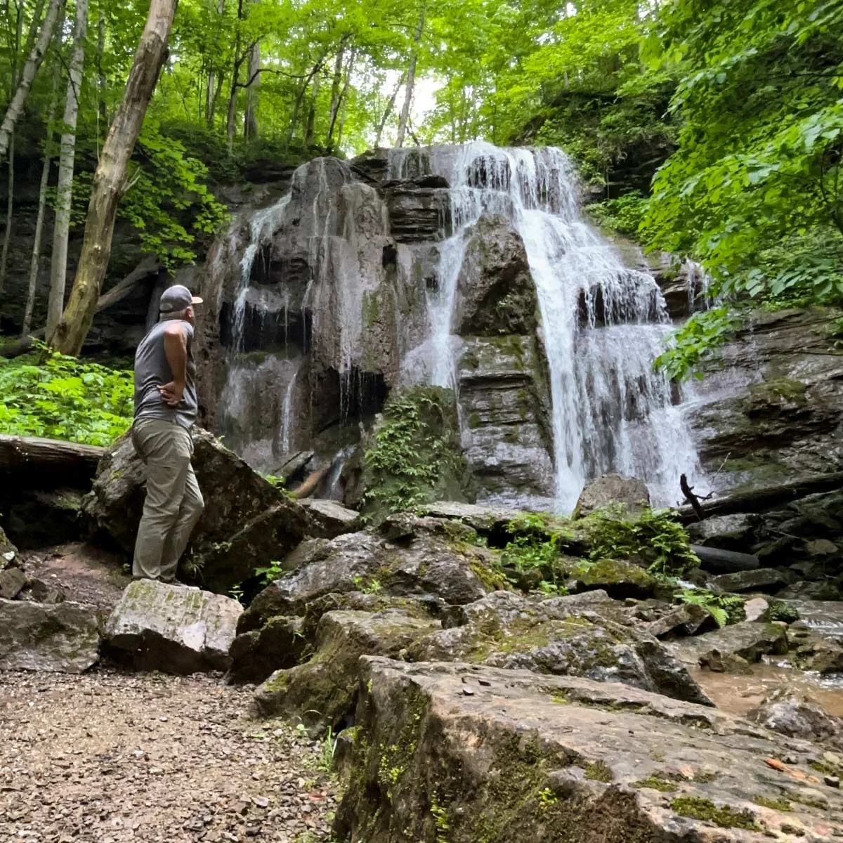
Tank Hollow Falls, a 60-foot accessible waterfall at Cleveland Barrens Natural Area Preserve in Russell County, Virginia

If you’re searching for unforgettable outdoor experiences in Virginia’s far west, look no further than the waterfalls of Coalfields in Southwest Virginia. Nestled within the rugged mountains of the Heart of Appalachia region, these cascading waters offer some of the most scenic, accessible, and diverse waterfall experiences in the state.

From ADA-accessible natural areas to remote gorge trails and historic mill sites, Southwest Virginia delivers waterfalls in every form – some well-known, many hidden, and a few you’ll discover completely by surprise.

Whether you’re a casual traveler, an avid hiker, or a photographer chasing the perfect shot, the waterfalls of Coalfields are a must-see part of any visit to the Best of Virginia’s West.

Discover the Heart of Appalachia Waterfall Trail

One of the best ways to experience the region is through the Heart of Appalachia Waterfall Trail, a curated collection of seven approachable and rewarding waterfall destinations designed for a wide range of visitors.

These falls are chosen not only for their beauty, but also for their accessibility and overall experience. Each stop offers something unique – whether it’s a short walk, a scenic overlook, or a full hiking adventure.

But here’s the truth: those seven waterfalls are just the beginning.

The region is filled with countless additional cascades, streams, and hidden water features waiting to be explored.

Waterfall County Getting there
Burton’s Ford Falls Wise Easy, quick stop near St. Paul
Little Stony Creek Falls Scott / Wise line About 4.8 miles round trip, streamside hike
Big Falls & Little Falls Russell About a half mile via a swinging footbridge
Tank Hollow Falls Russell Most accessible, about 100 feet on a level gravel path
Devil’s Bathtub Scott Strenuous, about 4 miles round trip with roughly 13 creek crossings
Guest River Gorge Trail Wise Easy, nearly 6-mile flat rail-trail, first 0.3 mile wheelchair-accessible
Roaring Branch Falls Wise Cascade in a narrow gorge, limited parking

The 7 Stops on the Heart of Appalachia Waterfall Trail

Numbered just as you’ll find them in the 2026 Field Guide:
No. 1: Burton’s Ford Falls

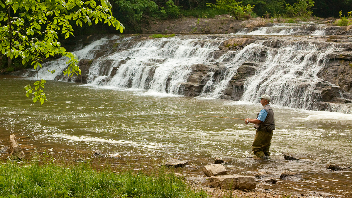
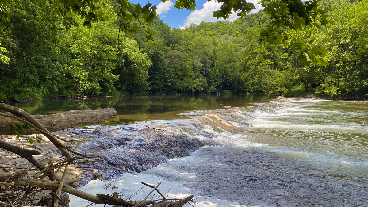
Burton's Ford Falls flowing over rock ledges on the Clinch River at Clinch River State Park in Southwest Virginia

Photo: Virginia State Parks (CC BY 2.0)

St. Paul (Wise County). An easily accessible waterfall in the Clinch River State Park – a quick, rewarding stop that pairs naturally with the Sugar Hill trails and downtown St. Paul.

Did You Know? A ford is a shallow river crossing. You’ll find many place names in the region like Blackford, Nash’s Ford, or Burton’s Ford named for historic crossing points. On clear water days, look closely for stone laid in the river beds for wagon road crossings.

No. 2: Little Stony Creek Falls

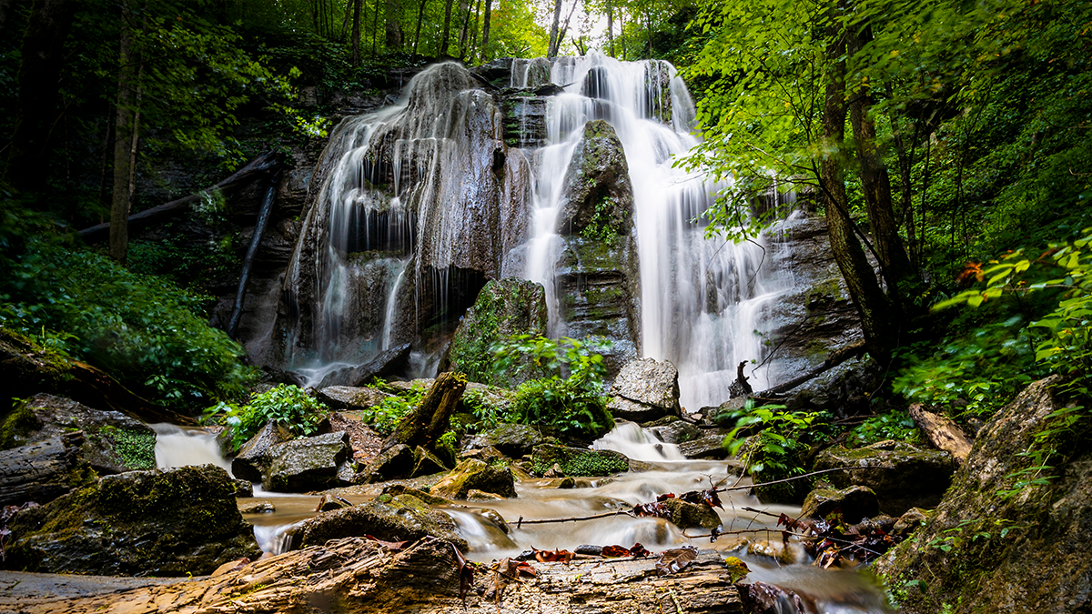
Little Stony Creek Falls flowing through a green summer gorge in Scott County, Virginia

Photo Credit: Brad Deel

Scott/Wise County line. A forested, streamside hike along the Little Stony National Recreation Trail leads to Little Stony Falls – roughly a 4.8-mile round trip past multiple cascades.

Tip: keep going beyond the first fall to find more unnamed cascades.

No. 3: Big Falls & Little Falls

Big Falls, a wide cascade on Big Cedar Creek at Pinnacle Natural Area Preserve in Russell County, Virginia

Photo Credit: VTC

Pinnacle Natural Area Preserve (Russell County). Cross the swinging footbridge at the trailhead and follow Big Cedar Creek about a half-mile to Big Falls – a wide, bank-to-bank cascade and one of the region’s most popular swimming holes. Easy to moderate.

Tip: follow the creek downstream from the picnic shelter to find Little Falls, a hidden treasure for careful explorers.

No. 4: Tank Hollow Falls

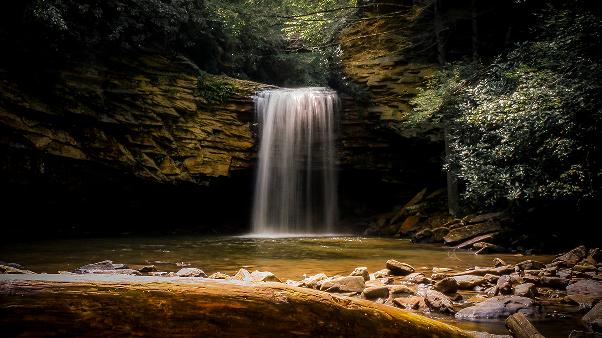
Tank Hollow Falls cascading over layered rock ledges at Cleveland Barrens Natural Area Preserve, Russell County, Virginia

Photo Credit: Brad Deel

Cleveland Barrens Natural Area Preserve (Russell County). A quiet 60-foot cascade – and the most accessible stop on the trail. The falls sit roughly 100 feet from designated accessible parking on a short, level gravel path, making this one of the few waterfalls in the region reachable by visitors of all abilities. Two picnic tables sit at the base.

Tip: flow is best a day or two after rain.

No. 5: Devil’s Bathtub (Plan a Full Day)

Scott County (Jefferson National Forest). The region’s most famous swimming hole – an emerald pool carved into solid rock. Reaching it is a moderate-to-difficult ~4-mile round trip with about 13 creek crossings, so wear grippy water shoes and start early.

Safety: if the water rises above your knees, turn back – crossings become dangerous in high water. Read the complete Devil’s Bathtub visitor guide before you go.
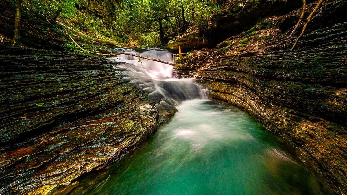
Turquoise water rushing through the carved rock chute of the Devil's Bathtub in Scott County, Southwest Virginia

Photo Credit: Brad Deel

No. 6: Falls along Guest River Gorge Trail

Crab Orchard Creek Falls along the Guest River Gorge Trail near Coeburn in Wise County, Virginia

Photo Credit: James Deel Photography

Wise County. One of Southwest Virginia’s most scenic corridors – a nearly 6-mile, flat rail-trail on a crushed-stone railbed, easy for biking or hiking, with the first 0.3 miles wheelchair-accessible. It threads 400-foot sandstone cliffs along the state-designated Scenic Guest River, passes through the historic 1922 Swede Tunnel, and connects to the Heart of Appalachia Bike Route. Waterfalls along the way include Lick Log Branch Falls (between MM2 & MM3) and Crab Orchard Creek Falls (at the second bridge).

No. 7: Roaring Branch Falls

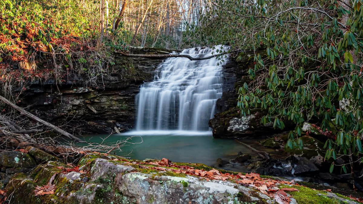
Roaring Branch Falls tucked into a narrow forested gorge in Wise County, Virginia

Photo Credit: Big Stone Gap

Wise County. A striking cascade tucked into a narrow forested gorge. Often overlooked, Roaring Branch rewards those who explore beyond the main attractions.

Note: parking is limited – be cautious and respectful.

The Magic of “Un-named” Waterfalls

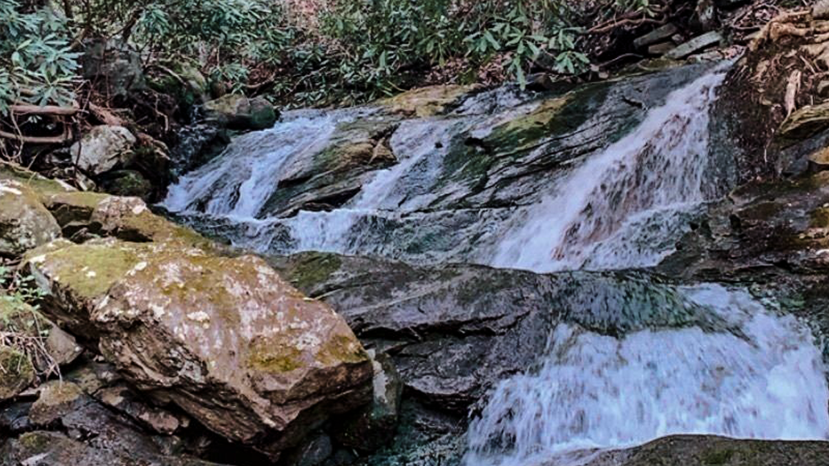
Not every waterfall here has a name. Travel through these mountains and you’ll find small cascades, roadside falls, and creek-fed drops that never made it onto a map – appearing after a rainstorm, around a bend in the road, or deep in a forested hollow. They’re a reminder that some of the best experiences aren’t planned. They’re discovered.
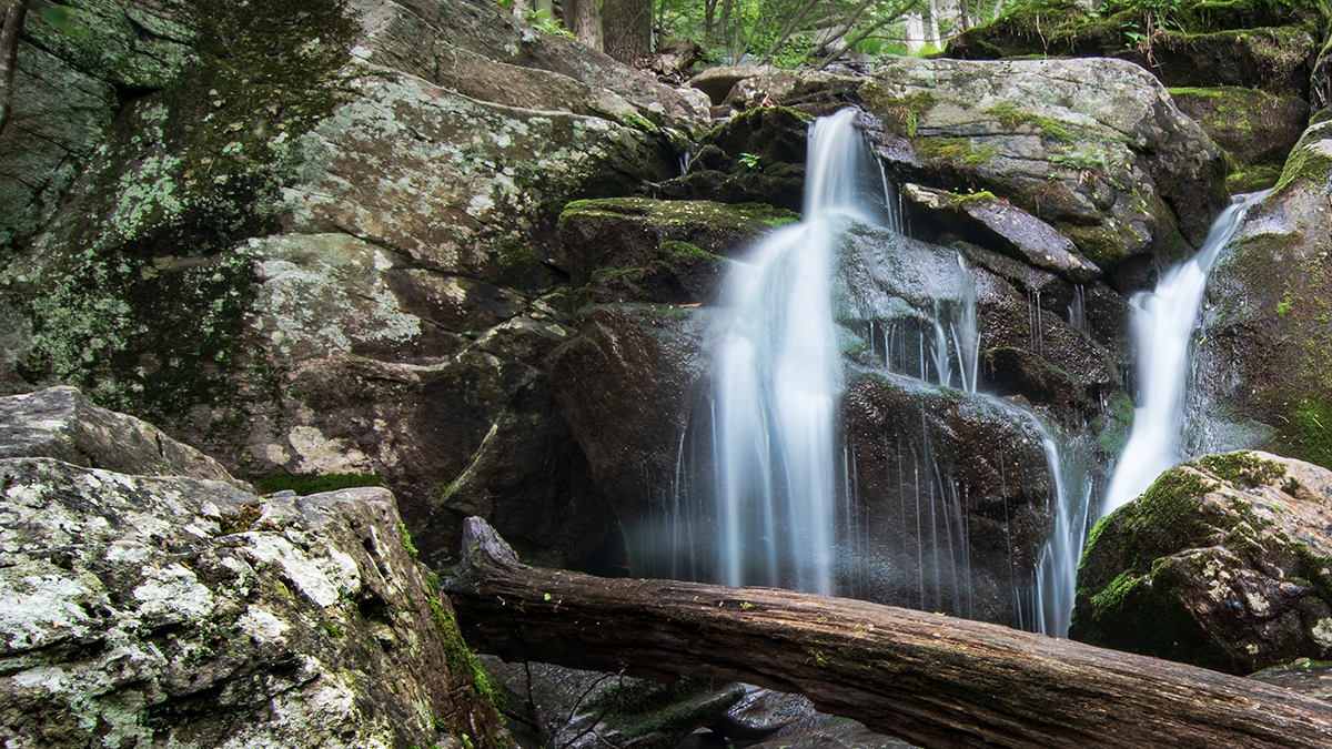
A small unnamed roadside waterfall in the mountains of Southwest Virginia

Historic Waterfalls at Mills and Dams

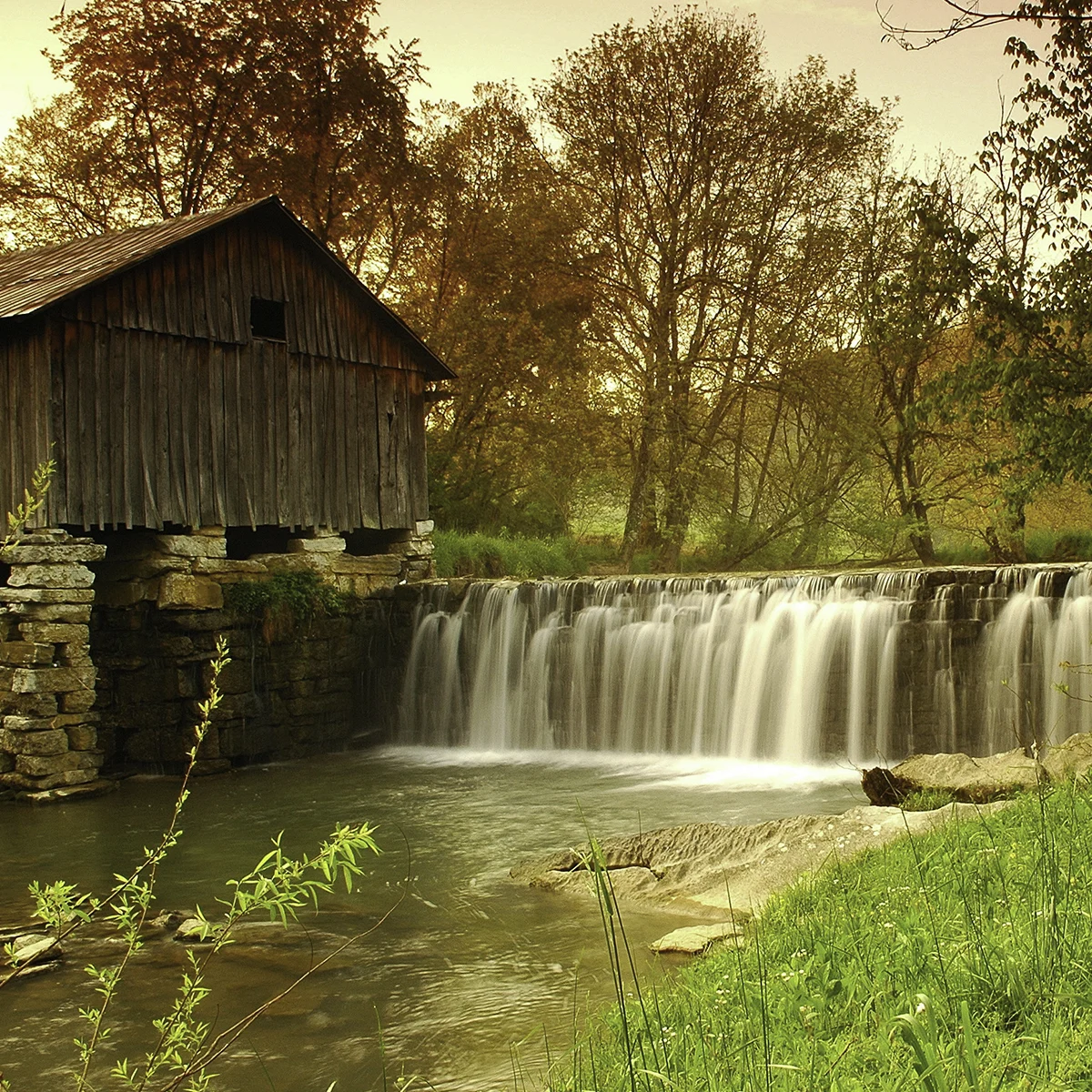
In addition to natural cascades, Southwest Virginia is home to a fascinating collection of historic man-made waterfall sites. These locations combine cultural history with scenic water features, offering visitors a different perspective on the region’s heritage.

Some notable examples include:

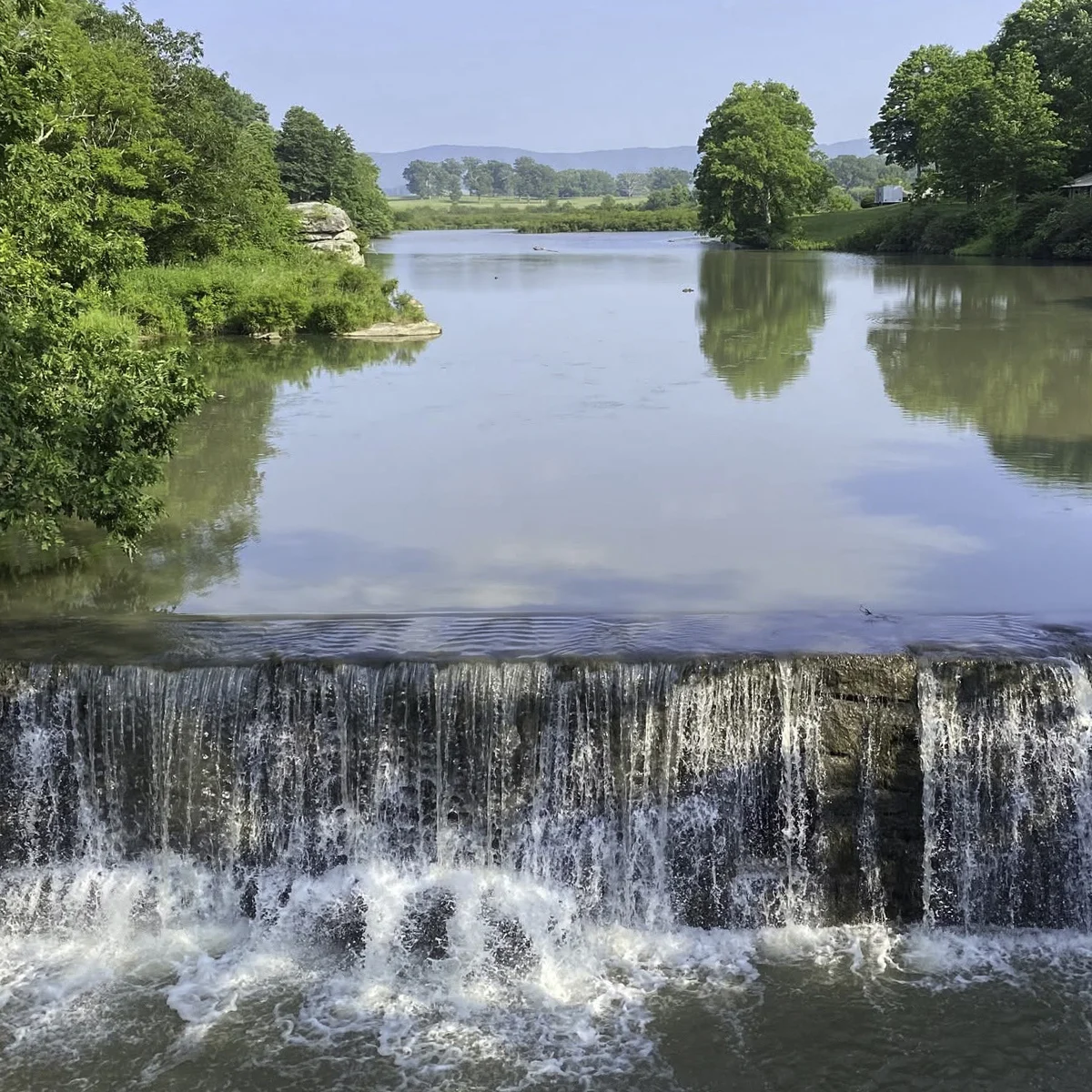
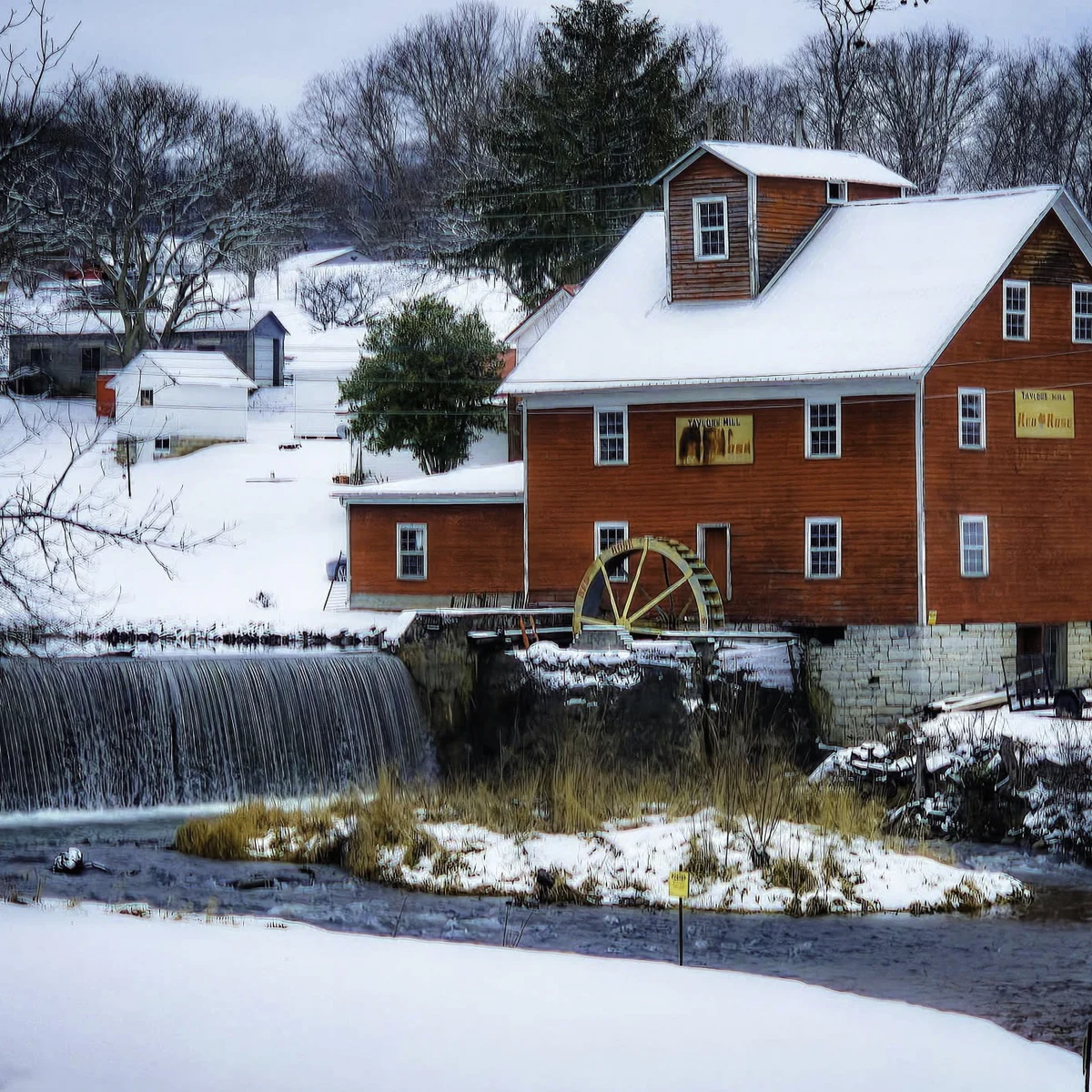
  • Taylor’s Mill Dam – Tazewell County. Viewable from the road.
  • Burke’s Garden Dam – Tazewell County. Scenic view on private property – please stay on the roadway.
  • Cowan Mill – Ewing, Lee County. An iconic photo stop – the 1890 gristmill is private property, so enjoy the view from the road.
  • Colliers Mill (Duck Pond) – Jonesville, Lee County. A quiet spot for a picnic.

These historic sites once powered local communities and industries, and today they provide peaceful settings that are perfect for photography, reflection, and exploration.

The blend of history and natural beauty makes these destinations a meaningful part of the broader waterfalls of Southwest Virginia experience.
Seasonal Beauty: A Changing Experience Every Visit

Expect something different each season. Shifting water flows and changing light mean no two visits look the same.

This constant transformation is one of the defining characteristics of the region’s waterfall system. Spring often brings powerful flows and lush green surroundings. Summer offers cool, shaded retreats ideal for escaping the heat. Fall transforms the landscape into a vibrant display of color, while winter reveals quieter, more dramatic rock formations and flowing water framed by bare trees.

No two visits are ever exactly the same – and that is part of what makes these waterfalls so memorable.
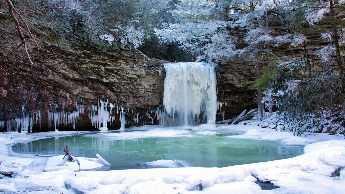
Little Stony Creek Falls framed by ice and snow in winter in Scott County, Virginia

Winter tip: when temperatures stay below freezing for a few days, some of these falls freeze into ice formations – a rare and striking sight worth timing a visit around.

Responsible Exploration Matters

With increasing popularity comes a responsibility to protect these natural treasures. When visiting the waterfalls of Southwest Virginia, please keep the following in mind:

  • Practice Leave No Trace principles
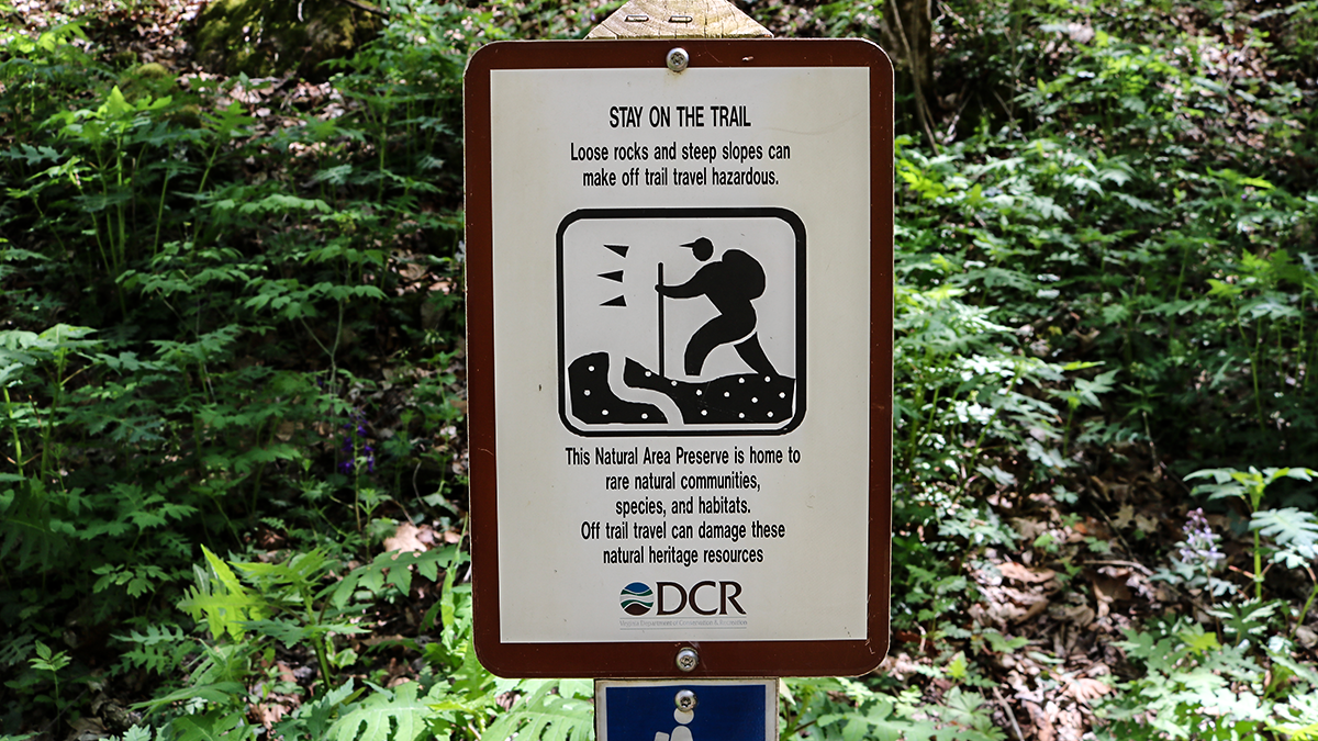
  • Stay on designated trails and access points
  • Respect private property and posted signage
  • Do not disturb historic structures or natural features
  • Pack out all trash and belongings
  • Research parking and cell service before your trip

Some locations may have limited connectivity or parking availability, especially during peak seasons. Planning ahead helps ensure a safe and enjoyable experience for everyone.
A waterfall and forested stream in the mountains of Southwest Virginia

Frequently Asked Questions

Seven signature stops: Burton’s Ford Falls, Little Stony Creek Falls, Big Falls and Little Falls, Tank Hollow Falls, Devil’s Bathtub, the falls along the Guest River Gorge Trail, and Roaring Branch Falls. The region also holds many smaller un-named falls and historic mill and dam sites.
The trail winds through the Heart of Appalachia region of Southwest Virginia, across Wise, Scott, and Russell counties. The seven stops make a natural road trip, so you can string several together in a day or spread them across a weekend.
Tank Hollow Falls is the most accessible, about 100 feet from designated accessible parking on a short, level gravel path. Burton’s Ford Falls near St. Paul and the flat Guest River Gorge rail-trail are also easy. Devil’s Bathtub is the most demanding, a strenuous hike with about 13 creek crossings.
Waterfalls are at their fullest after rain and during spring snowmelt, and every season offers a different experience along the trail.
Yes, it is stop No. 5 and deserves a full day on its own, since reaching it is a strenuous hike of about 4 miles round trip with roughly 13 creek crossings. See our complete Devil’s Bathtub visitor guide for the details.

Experience the Best of Virginia’s West

The waterfalls of Southwest Virginia are more than scenic destinations – they are part of the identity of the Heart of Appalachia region.

They tell stories of geology, history, community, and natural beauty. They offer adventure for hikers, relaxation for families, and inspiration for photographers and travelers alike.

Whether you’re exploring a well-known trail or stumbling upon a hidden cascade deep in the mountains, one thing is certain: you’ll leave wanting to come back for more.

So take your time. Explore deeply. And discover why these falls are among the most treasured outdoor experiences in the state. Planning your route around the marquee stop? Read the complete Devil’s Bathtub visitor guide – and if you’re building up to bigger hikes, start with the best beginner hikes in the region.


Plan Your Waterfall Road Trip

Use our free trip planner to map your waterfall route and find lodging along the way – or download the 2026 Field Guide for trail maps, parking coordinates, and the full Waterfall Trail.

Keep Exploring